Úvod
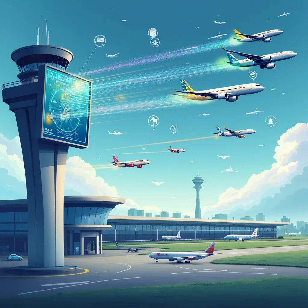
Automatický závislý dohľad - vysielanie (ADS-B) predstavuje transformačný pokrok v technológii leteckého dohľadu, ktorý zásadne mení spôsob navigácie a komunikácie lietadiel v civilnom vzdušnom priestore. Tento sofistikovaný systém využíva satelitnú navigáciu na to, aby lietadlá mohli nepretržite vysielať údaje o svojej polohe, výške a rýchlosti, čím sa vytvorí prepojená sieť informácií o vzdušnom priestore v reálnom čase.
Technická architektúra
Systém spracovania a vizualizácie údajov ADS-B
import datetime
import math
z adresy dataclasses import dataclass
from typing import List, Dict, Tuple
import numpy ako np
@dataclass
trieda AircraftState:
icao_address: str
zemepisná šírka: float
zemepisná dĺžka: float
nadmorská výška: float
rýchlosť: float
nadpis: float
časová pečiatka: datetime.datetime
trieda ADSBProcessor:
def __init__(self):
self.aircraft_database: Dict[str, AircraftState] = {}
self.ground_stations: List[Tuple[float, float]] = []
def process_adsb_správa(self, raw_message: bytes) -> AircraftState:
"""Spracovať surovú správu ADS-B a získať informácie o stave lietadla"""
# Zjednodušené spracovanie správ - v skutočnosti by to znamenalo dekódovanie komplexných protokolov ADS-B
vyskúšať:
# Simulujte rozbor správy
správa = raw_message.decode().split(',')
stav = AircraftState(
icao_address=message[0],
zemepisná šírka=float(správa[1]),
zemepisná dĺžka=float(správa[2]),
nadmorská výška=float(správa[3]),
velocity=float(správa[4]),
heading=float(message[5]),
timestamp=datetime.datetime.now()
)
self.aircraft_databáza[state.icao_address] = state
vrátiť stav
okrem výnimky ako e:
print(f”Error processing ADS-B message: {e}”)
vrátiť None
def calculate_collision_risk(self, aircraft1: str, aircraft2: str) -> float:
"""Vypočítajte riziko zrážky dvoch lietadiel"""
ak lietadlo1 nie je v self.aircraft_databáza alebo aircraft2 nie je v self.aircraft_database:
vrátiť 0.0
stav1 = self.aircraft_databáza[lietadlo1]
stav2 = self.aircraft_databáza[lietadlo2]
# Vypočítať vzdialenosť medzi lietadlami
lat1, lon1 = math.radians(state1.latitude), math.radians(state1.longitude)
lat2, lon2 = math.radians(state2.latitude), math.radians(state2.longitude)
# Haversinov vzorec pre vzdialenosť
dlat = lat2 - lat1
dlon = lon2 - lon1
a = math.sin(dlat/2)**2 + math.cos(lat1) * math.cos(lat2) * math.sin(dlon/2)**2
c = 2 * math.asin(math.sqrt(a))
vzdialenosť = 6371 * c # Polomer Zeme v km
# Výpočet vertikálnej separácie
vertical_separation = abs(state1.altitude - state2.altitude)
# Jednoduchá metrika rizika založená na vzdialenosti a vertikálnej separácii
riziko = 1,0 / (vzdialenosť + 0,1) * 1,0 / (vertical_separation + 0.1)
vrátiť min(1.0, risk * 1000) # Normalizovať na [0,1]
def optimize_flight_cesta(self, aircraft_id: str, destination: Tuple[float, float]) -> List[Tuple[float, float]]:
"""Generovať optimalizovanú letovú trasu s ohľadom na aktuálnu prevádzku vo vzdušnom priestore"""
ak aircraft_id nie je v self.aircraft_databáza:
návrat []
current_state = self.aircraft_databáza[aircraft_id]
# Jednoduché generovanie bodov trasy - v skutočnosti by to bolo oveľa zložitejšie
start = (current_state.latitude, current_state.longitude)
waypointy = []
# Generovanie medziľahlých bodov cesty
krokov = 10
pre i v rozsah(krokov + 1):
t = i / krokov
lat = start[0] + t * (cieľ[0] - štart[0])
lon = start[1] + t * (cieľ[1] - štart[1])
waypoints.append((lat, lon))
vrátenie bodov trasy
def monitor_airspace_sektor(self, sector_bounds: Tuple[float, float, float, float]) -> List[AircraftState]:
"""Monitorovanie lietadiel v rámci vymedzeného sektora vzdušného priestoru"""
min_lat, max_lat, min_lon, max_lon = sector_bounds
aircraft_in_sector = []
pre lietadlá v self.aircraft_database.values():
if (min_lat <= aircraft.latitude <= max_lat and
min_lon <= aircraft.longitude <= max_lon):
lietadlo_v_sector.append(lietadlo)
vrátiť aircraft_in_sector
def simulate_adsb_system():
"""Simulovať prevádzku systému ADS-B"""
procesor = ADSBProcessor()
# Simulujte viacero lietadiel
aircraft_data = [
b "AC001,37.7749,-122.4194,30000,500,90″,
b "AC002,37.7749,-122.4294,31000,480,95″,
b "AC003,37.7849,-122.4194,29000,510,88″
]
# Spracovať správy
pre správu v aircraft_data:
stav = processor.process_adsb_message(správa)
ak stav:
vytlačiť(f "Spracované lietadlo {state.icao_address} na pozícii "
f"({state.latitude}, {state.longitude})")
# Vypočítajte riziká kolízie
riziko = processor.calculate_collision_risk("AC001", "AC002")
print(f”\nCollision risk between AC001 and AC002: {risk:.4f}”)
# Generovanie dráhy letu
cieľ = (38.7749, -123.4194)
cesta = processor.optimize_flight_path("AC001", cieľ)
print(f”\nOptimized flight path waypoints: {len(path)}”)
# Sektor monitorovania
sektor = (37,7, 37,8, -122,5, -122,4)
aircraft_in_sector = processor.monitor_airspace_sector(sektor)
print(f”\nAircraft in monitored sector: {len(aircraft_in_sector)}”)
if __name__ == "__main__":
simulate_adsb_systém()
Komponenty systému
Architektúra systému ADS-B pozostáva z dvoch základných komponentov, ktoré spolupracujú na zlepšení informovanosti o vzdušnom priestore. Systémy ADS-B Out nepretržite prenášajú údaje o polohe lietadla vrátane presných informácií o zemepisnej šírke, dĺžke, nadmorskej výške a rýchlosti získaných zo satelitných navigačných systémov. Tento prenos sa uskutočňuje v pravidelných intervaloch, zvyčajne každú sekundu, čím sa zabezpečuje aktualizácia polohy takmer v reálnom čase. Systémy ADS-B In prijímajú toto vysielanie z blízkych lietadiel aj pozemných staníc, čím vytvárajú komplexný obraz o miestnej leteckej prevádzke.
Prevádzková implementácia
Integrácia technológie ADS-B do civilnej prevádzky vzdušného priestoru si vyžaduje zložitú koordináciu medzi viacerými systémami. Pozemné stanice prijímajú vysielanie lietadiel a prenášajú tieto informácie do zariadení riadenia letovej prevádzky, kde pokročilé systémy spracovania analyzujú údaje s cieľom zachovať bezpečnú vzdialenosť medzi lietadlami. Systém umožňuje presnejšie sledovanie ako tradičný radar, najmä v oblastiach s obmedzeným radarovým pokrytím alebo v malých výškach.
Vylepšené bezpečnostné funkcie
Technológia ADS-B výrazne zvyšuje bezpečnosť vzdušného priestoru prostredníctvom viacerých mechanizmov. Systém poskytuje pilotom lepšie situačné povedomie a zobrazuje okolitú prevádzku s bezprecedentnou presnosťou. Algoritmy na detekciu dopravných konfliktov analyzujú trajektórie lietadiel v reálnom čase a poskytujú včasné varovanie pred potenciálnymi konfliktmi. Pátracie a záchranné operácie profitujú z presného hlásenia polohy, čo umožňuje rýchlejšiu reakciu počas núdzových situácií.
Zlepšenia účinnosti
Zavedenie systému ADS-B umožňuje podstatné zlepšenie efektívnosti vzdušného priestoru. Lietadlá môžu udržiavať optimálne letové trasy vďaka presnejšiemu rozmiestneniu a smerovaniu. Systém podporuje zníženie požiadaviek na rozstupy v riadne vybavenom vzdušnom priestore, čím sa zvyšuje kapacita bez ohrozenia bezpečnosti. Integrácia informácií o počasí v reálnom čase umožňuje efektívnejšie plánovanie tratí a vyhýbanie sa nepriaznivému počasiu.
Ochrana súkromia a bezpečnosť
Vysielacia povaha vysielania ADS-B vyvoláva dôležité úvahy o ochrane súkromia, ktoré sa musia starostlivo riadiť. Systém implementuje funkcie selektívnej dostupnosti, ktoré umožňujú určitým lietadlám zachovať si zvýšenú ochranu súkromia a zároveň dodržiavať bezpečnostné požiadavky. Bezpečnostné opatrenia chránia pred falšovaním signálu a rušením, čím sa zabezpečuje integrita systému sledovania.
Budúci vývoj
Prebiehajúci výskum pokračuje v zlepšovaní schopností ADS-B prostredníctvom zdokonaleného spracovania signálu, vylepšených bezpečnostných funkcií a integrácie s novými technológiami. Vývoj sa zameriava na znižovanie nákladov na vybavenie pri zachovaní spoľahlivosti systému a rozšírenie pokrytia do vzdialených oblastí. Budúce implementácie budú pravdepodobne zahŕňať ďalšie typy údajov, aby sa ďalej zvýšilo povedomie o vzdušnom priestore a bezpečnosť.
Záver
Technológia ADS-B predstavuje zásadný pokrok v civilnej prevádzke vzdušného priestoru. Schopnosť systému zvýšiť bezpečnosť, zlepšiť efektívnosť a poskytnúť komplexné povedomie o vzdušnom priestore z neho robí základnú súčasť modernej leteckej infraštruktúry. Organizácie musia starostlivo vyhodnotiť požiadavky na implementáciu a vypracovať vhodné stratégie nasadenia, aby sa maximalizovali výhody tejto technológie.
Technická podpora
Podrobné pokyny k implementácii a technickú dokumentáciu vám poskytne náš tím pre letecké systémy na adrese [email protected]. Naši odborníci vám pomôžu pri vývoji riešení ADS-B na mieru, ktoré spĺňajú vaše špecifické prevádzkové požiadavky a zároveň zabezpečujú súlad s leteckými predpismi.
Decent Cybersecurity poskytuje pokročilé riešenia leteckého dohľadu na celom svete. Naše systémy zabezpečujú prevádzkovú bezpečnosť a zároveň maximalizujú efektívnosť vzdušného priestoru.
Výsledok vykonania:
Spracované lietadlo AC001 na pozícii (37.7749, -122.4194)
Spracované lietadlo AC002 v polohe (37.7749, -122.4294)
Spracované lietadlo AC003 na pozícii (37.7849, -122.4194)
Riziko kolízie medzi AC001 a AC002: 0,0982
Optimalizované body trasy letu: 11
Lietadlá v monitorovanom sektore: 3